Lea este articulo en español aquí.
According to the San Benito Agricultural Land Trust (SBALT) wildfires play an important role in natural systems and cultural practices. They can benefit ecosystems by promoting forest regeneration, increasing nutrient cycling and maintaining biodiversity. However, wildfires can cause destruction and damage to ecosystems, people and property.
One of the tools for collaborative wildfire prevention and response are Community Wildfire Protection Plans (CWPP). San Benito adopted its current CWPP in 2010.
To develop an update to this plan, several partners have teamed together to identify the current needs and priorities of San Benito County. Funding for this effort is provided by a grant of over $700,000 through the California Coastal Conservancy and the California Department of Conservation.
A news release from SBALT explained the CWPP, the updates expected and agencies involved in the update.
 100vw, 780px”><figcaption class=) Fire hazard zone map in the state responsibility areas. Image by CalFire.
Fire hazard zone map in the state responsibility areas. Image by CalFire. What is a CWPP?
As wildfire severity increases, communities need a plan to help prepare for, reduce the risk of, and adapt to wildland fire events. A CWPP is a community-based plan focused on identifying and addressing the local threats of wildfire. CWPPs have been a national standard of practice since 2003 following the signing of the Healthy Forests Restoration Act (HFRA into law. The HFRA requires that CWPPs are developed by multiple agencies at the state and local level in consultation with federal agencies and the public. San Benito adopted its current CWPP in 2010.
What will be updated?
This update includes:
- Maps and figures of wildfire risk
- An updated definition of the Wildland Urban Interface (WUI)
- Recommendations to reduce risk at an individual homeowner and community-wide level
- Priority fuels reduction projects eligible for funding
- A publicly available comprehensive plan
Who is responsible for updating the CWPP?
Development of San Benito’s CWPP is a partnership among local, state, tribal, and federal officials, as well as non-governmental organizations and private citizens. Throughout the update period, residents and homeowners’ associations, fire protection districts, nonprofit organizations, and government and business entities, are supposed to work together to help make their communities safer from wildfire and provide a roadmap of clear actions for the community. Core collaborators on the update include the San Benito Fire Safe Council, San Benito Agricultural Land Trust, San Benito Resource Conservation District, San Benito Office of Emergency Services, San Benito County Cattlemen’s Association, University of California Agriculture and Natural Resources Cooperative Extension, City of Hollister Fire Department, California State Parks, Amah Mutsun Land Trust, Bureau of Land Management, CAL FIRE and National Park Service. The consultant team supporting this CWPP update includes Environmental Science Associates (ESA) and Spatial Informatics Group.
Members of the public may join the conversation for the CWPP planning process, which includes discussion among community members regarding priorities for local fire protection and forest management.
There will be a variety of community events to gather public feedback and discuss the updated CWPP. There is also an online survey available, which provides an opportunity to share community needs and priorities.
 100vw, 780px”><figcaption class=) Event information courtesy of SBALT.
Event information courtesy of SBALT.A draft version of the plan will be available later in 2024 for public review and comment.
The first event will take place on May 8, from 6 p.m. to 7 p.m. on Zoom. Interested parties can register here.
According to the county’s fire plan the list below is of recent wildfire activity in the county between 2018 and 2021:
- Panoche Fire -145 acres (2021)
- Coyote Fire – 1,508 acres (2020)
- Bitter Fire – 895 acres (2020)
- Foster Fire -17 acres (2019)
- Antelope Fire – 167 acres (2018)
- Fairview Fire – 35 acres (2018)
- Panoche Fire – 116 acres (2018)
- Idria Fire – 116 acres (2018)
According to the California Department of Fish and Wildlife, wildfires in California have increased in size and intensity since the 1980s. Fifteen of the 20 largest recorded wildfires have occurred since 2000 and 10 of the most costly and destructive fires to life and property have occurred since 2015.
Cal Fire notes the state’s two largest recorded fires are the 2020 August Complex which burned more than a million acres followed by the 2021 Dixie Fire which burned 963,309 acres.
The state’s deadliest and most destructive wildfire is the Camp Fire in Butte County in November 2018. It caused at least 85 civilian fatalities and injured 12 civilians and five firefighters. It burned 153,336 acres and destroyed more than 18,000 structures, with most of the destruction occurring within the first four hours. The towns of Paradise and Concow were almost completely destroyed, each losing about 95% of their structures.
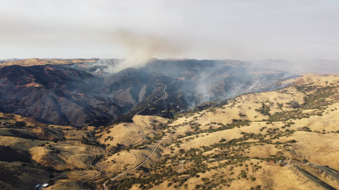
In 2020 California had the most fires of any recorded year. Cal Fire responded to 8,648 wildfires resulting in 4.3 million acres burned, 33 deaths and 11,116 structures destroyed. The Coyote Fire near Panoche Valley was the largest fire in San Benito County in 2020. It burned 1,485 acres between July 15 and July 18.
We need your help. Support local, nonprofit news! BenitoLink is a nonprofit news website that reports on San Benito County. Our team is committed to this community and providing essential, accurate information to our fellow residents. It is expensive to produce local news and community support is what keeps the news flowing. Please consider supporting BenitoLink, San Benito County’s public service, nonprofit news.
